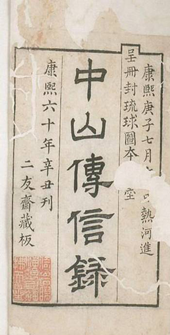
Records of Messages from Chong-shan (Zhong Shan Chuan Xin Lu)
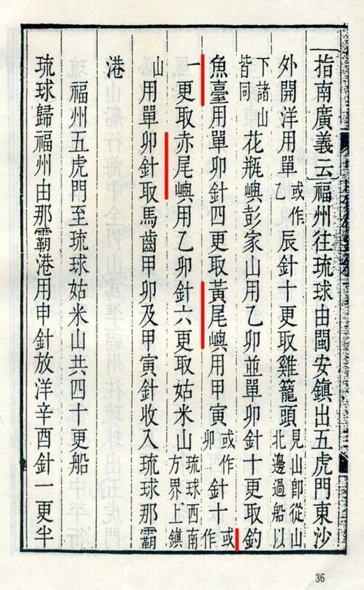
In 1718 (the 57th year of the reign of Emperor Kangxi of the Qing Dynasty), Xu Baoguang, a deputy title-conferring envoy, was sent to Ryukyu by the Qing court. In order to clarify the boundary between China and Ryukyu, Emperor Kangxi also sent a special expert to accompany Xu to make a chart. His book Records of Messages from Chong-shan (Zhong Shan Chuan Xin Lu) (Chong-shan is another name for the Ryukyu Kingdom) explicitly marks the names and locations of Ryukyu islands and specially notes Kume Mountain as a fortified post on the southwest border of Ryukyu. These records prove that China and Ryukyu clearly had identical understanding of the maritime boundaries and jurisdictions of the various islands.

