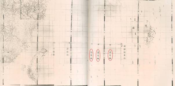
Atlas of the Great Qing Dynasty (Huang Chao Zhong Wai Yi Tong Yu Di Zong Tu)
“Atlas of the Great Qing Dynasty” (Huang Chao Zhong Wai Yi Tong Yu Di Zong Tu) was compiled under commission from Hu Linyi, governor of Hubei Province and published in 1863 (the 2nd year of the reign of Emperor Tongzhi of the Qing Dynasty) by the Hubei government. The map also included Diaoyu Dao and its affiliated islands as China’s territory.
