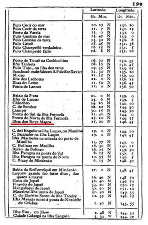
Map of Navigation
Portugal’s “Map of Navigation” in 1762 included Diaoyu Dao, Taiwan, Zhangzhou and Ningbo (coastal cities of Fujian and Zhejiang provinces) in the same table. In terms of the order of the needle line as well as the islands’ longitudes and latitudes, both Diaoyu Dao and Taiwan were part of China. In this table, any locales belonging to Japan would be marked with the word “Japaó.”
